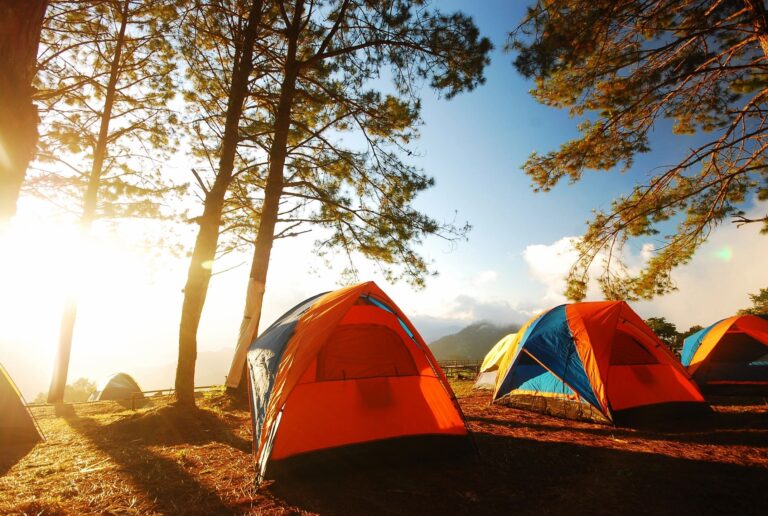
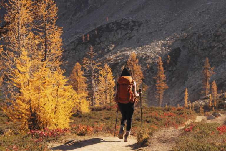
Top Beginner-Friendly Day Hikes for Golden Larches in Washington:
- Maple Pass Trail
- Distance: 6.5 miles loop
Elevation Gain: ~2162 ft. - Difficulty: Moderate – Hard hike.
- Why it’s good: Offers views of larches on the mountainside above Lake Ann and fall meadow with great view of the mountain range.
- Pass: Northwest Forest Pass may be required (Check https://www.wta.org/).
- Distance: 6.5 miles loop
- Blue Lake Trail
- Distance: ~4.5 miles round trip.
- Elevation Gain: ~1,000 ft.
- Difficulty: Moderate / “easy-moderate” larch hike.
- Why it’s good: There’s a beautiful alpine lake (“Blue Lake”) ringed by golden larches.
- Pass: Northwest Forest Pass may be required (Check https://www.wta.org/).
- Cutthroat Lake Trail
- Distance: ~3.8 miles round trip.
- Elevation Gain: ~479 ft.
- Difficulty: Easy — one of the easiest larch hikes.
- Why it’s good: Offers views of larches on the mountainside above the lake.
- Road / Trailhead: Relatively accessible from Highway 20.
- Lewis Lake
- Distance: ~7.0 miles round trip (if you go all the way).
- Elevation Gain: ~1,800 ft.
- Difficulty: Moderate
- Why it’s good: Shoreline has glowing golden larches in the fall, and it’s less crowded than some of the Instagram-famous spots.
- Access: Shares trailhead with the Maple Pass / Wing Lake route.
- Swauk Forest Discovery Trail (Blewett Pass)
- Distance: ~2.5 mile loop.
- Elevation Gain: ~600 ft.
- Difficulty: Easy / very accessible
- Why it’s good: Interpretive signs, not terribly crowded, larches visible right near the parking area.
- Pass: Northwest Forest Pass needed (Check https://www.wta.org/).
- Tronsen Ridge
- Distance: ~8 miles round trip.
- Elevation Gain: ~1,000 ft.
- Difficulty: Moderate — not super technical, but enough gain.
- Why it’s good: You hike through golden larch ridges with panoramic views.
- Note: The trailhead requires a high-clearance vehicle.
🌲 Important Tips for Larch Season
1. Timing matters — the golden window is short
Golden larches peak for only 1–2 weeks, usually late September through October depending on elevation and yearly weather.
Why this happens:
Larches are deciduous conifers, so they turn gold right before dropping their needles, and the exact timing shifts every year.
How to plan around it:
- Track recent trip reports on WTA.org, AllTrails, or Facebook hiking groups. People post photos daily during the larch season.
- Look by elevation:
- High elevation (6,000–7,000 ft): late Sept – early Oct
- Mid elevation (4,000–5,500 ft): early – mid Oct
- Lower elevation: mid Oct – Nov
- Have a backup hike in case your first-choice area is past peak or snowed in.
- Watch weather early storms can cut the season short.
2. Many trails require permits or passes
Most popular larch hikes are in national forests where trailheads require a Northwest Forest Pass (or America the Beautiful Pass).
Why it matters:
Parking without a pass may result in a fine, and some trailheads have strict enforcement.
Tips:
- Buy a Northwest Forest Pass online or at REI (usually ~$30/year).
- If you already have the national parks America the Beautiful Pass, it also works.
Keep a backup digital copy on your phone and a printed copy in your car. - Check specific trail pages on WTA.org to avoid surprises.
3. Trails get extremely crowded during peak larch weeks
Limited seasonal window = packed trailheads, especially at Blue Lake, Maple Pass, and Colchuck.
Why it matters:
Parking fills up, lines form at the restroom, and photo spots can be busy.
Tips:
- Arrive early – Aim for before 8am, or sunrise for ultra-popular trails.
- Go on weekdays if possible.
- Have a backup parking plan – some trailheads allow roadside overflow, others don’t.
- Be patient and respectful – the larch season is chaotic for everyone.
4. Weather can be unpredictable (cold, wind, snow)
Larch hikes are often at high elevation (Blewett Pass, North Cascades, Alpine Lakes). October can bring freezing temps, sudden snow, icy patches, or strong wind.
Why it matters:
Unprepared hikers risk hypothermia or having to turn back early.
Tips:
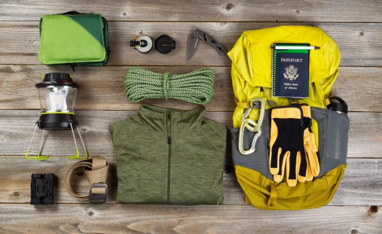
- Bring layers, including:
- Base layer
- Insulating layer (fleece or puffy)
- Waterproof/windproof shell
- Pack microspikes if snow is in the forecast.
- Bring a warm hat, gloves, and dry socks.
- Check conditions on:
- Mountain weather forecast (NOAA, Mountain-Forecast.com)
- Recent trip reports
- Start early – conditions worsen quickly in the afternoon.
- Always pack a headlamp with fresh batteries, even for short day hikes.
- Have an offline map downloaded on your phone.
5. Roads to trailheads can be rough or require 4WD
Some larch hikes (like Tronsen Ridge, Wing Lake, or Lake Ingalls areas) have bumpy forest roads that can be washboarded or potholed.
Why it matters:
Many low-clearance cars struggle or get damaged.
Solutions:
- Read WTA trip reports to see recent road status.
- Pick paved-access or easy-road larch hikes (e.g., Blue Lake and Cutthroat Lake via Hwy 20).
- Drive slowly on forest roads to avoid damage.
- Park lower down and walk extra miles if needed.
- If possible, carpool with someone with AWD / high-clearance.
7. Leave No Trace is especially important
Larch areas are fragile. Branches snap easily and off-trail walking damages young trees.
Why it matters:
Larches take decades to mature, and fall season brings heavy foot traffic.
Solutions:
- Stay on established trails.
- Don’t step on roots or climb trees for photos.
- Pack out all trash, tissues, and food waste.
- Avoid creating new social paths for photo spots.
- Don’t pick the needles of the larch branches